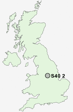
Postcode : S40 2, Derbyshire
Postcodes in the S40 2 district. Covering areas such as Birdholme, Boythorpe and Derbyshire.
Postcode Area S : Sheffield
S40 Postcode Sectors
S40 2 Nearby Postcode Districts
DE45 NG18 NG19 NG20 NG21 S17 S18 S21 S32 S40 S41 S42 S43 S44 S45 S80
Stations near to S40 2
Chesterfield Rail Station about 0.98 miles away.S40 2 Schools
Parkside Community SchoolWhitecotes Primary School
Brockwell Nursery and Infant School
Westfield Infant School
Brookfield Community School
Newbold Community School
Holme Hall Primary School
Hasland Hall Community School
Dunston Primary and Nursery School
UK Search
Antique Furniture
1000s of pieces of Antique Furniture for sale from British antique dealers.