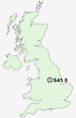
Postcode : S41 0, Derbyshire
Postcodes in the S41 0 district. Covering areas such as Hady, Winsick, Hasland, Temple Normanton, Tapton and Derbyshire.
Postcode Area S : Sheffield
S41 Postcode Sectors
S41 0 Hady, Hasland, Tapton, Temple Normanton, Winsick
S41 9 Old Whittington, Sheepbridge, The Brushes, Upper Newbold, Whittington Moor
S41 9 Old Whittington, Sheepbridge, The Brushes, Upper Newbold, Whittington Moor
S41 0 Nearby Postcode Districts
DE4 DE45 NG17 NG18 NG19 NG20 NG21 S18 S21 S32 S40 S41 S42 S43 S44 S45 S80
Stations near to S41 0
Chesterfield Rail Station about 2.09 miles away.S41 0 Schools
Hasland Junior SchoolHasland Hall Community School
Hasland Infant School
Spire Nursery and Infant School
Hunloke Park Primary School
Hady Primary School
Spire Junior School
Tupton Primary and Nursery School
Deincourt Community School
North Wingfield Primary and Nursery School
UK Search
Antique Furniture
1000s of pieces of Antique Furniture for sale from British antique dealers.