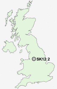
Postcode : SK12 2, Cheshire East, Cheshire
Postcodes in the SK12 2 district. Covering areas such as Disley, Higher Disley, Danebank, Woodend, Lane Ends and Cheshire East.
Postcode Area SK : Stockport
SK12 Postcode Sectors
SK12 2 Nearby Postcode Districts
M12 M13 M14 M15 M16 M18 M19 M20 M21 M22 M23 M31 M32 M33 M34 M41 M44 M90 S33 SK1 SK10 SK12 SK13 SK14 SK2 SK22 SK23 SK3 SK4 SK5 SK6 SK7 SK8 SK9 WA14 WA15 WA16
Stations near to SK12 2
Disley Rail Station about 0.58 miles away.Strines Rail Station about 0.64 miles away.
New Mills Newtown Rail Station about 1.34 miles away.
New Mills Central Rail Station about 1.38 miles away.
Middlewood Rail Station about 1.88 miles away.
Marple Rail Station about 2.49 miles away.
Rose Hill Marple Rail Station about 2.58 miles away.
SK12 2 Schools
Hague Bar Primary SchoolDisley Primary School
Brookside Primary School
High Lane Primary School
Newtown Primary School
New Mills Primary School
UK Search
Antique Furniture
1000s of pieces of Antique Furniture for sale from British antique dealers.