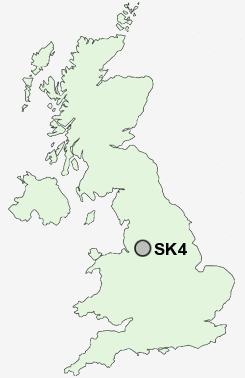
Postcode : SK4, Stockport, Greater Manchester
Postcodes in the SK4 sector. Covering areas such as Heaton Mersey, Heaton Norris, Heaton Chapel, Heaton Moor and Stockport in Greater Manchester.
Postcode Area SK : Stockport
SK4 Postcode Sectors
SK4 Nearby Postcode Districts
M1 M11 M12 M13 M14 M15 M16 M17 M18 M19 M2 M20 M21 M22 M23 M27 M28 M29 M3 M30 M31 M32 M33 M34 M35 M4 M40 M41 M43 M44 M5 M6 M60 M7 M8 M90 OL5 OL6 OL7 SK1 SK12 SK13 SK14 SK15 SK16 SK2 SK22 SK23 SK3 SK4 SK5 SK6 SK7 SK8 SK9 WA1 WA13 WA14 WA15 WA3 WA4 WN7
Stations near to SK4
Heaton Chapel Rail Station about 0.45 miles away.Burnage Rail Station about 1.52 miles away.
East Didsbury Rail Station about 1.89 miles away.
Brinnington Rail Station about 2.02 miles away.
Davenport Rail Station about 2.22 miles away.
Belle Vue Rail Station about 3 miles away.
Cheadle Hulme Rail Station about 3 miles away.
Denton Rail Station about 3.26 miles away.
SK4 Schools
Norris Bank Primary SchoolMersey Vale Primary School
Didsbury Road Primary School
Broadstone Hall Primary School
Lark Hill Primary School
Stockport Academy
Stockport Academy
Cale Green Primary School
UK Search
Antique Furniture
1000s of pieces of Antique Furniture for sale from British antique dealers.