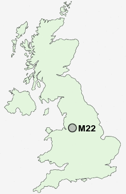
Postcode : M22, Greater Manchester
Postcodes in the M22 sector. Covering areas such as Wythenshawe, Peel Hall, Sharston, Woodhouse Park, Benchill, Moss Nook, Northenden and Greater Manchester.
Postcode Area M : Manchester
M22 Postcode Sectors
M22 Nearby Postcode Districts
M1 M11 M12 M13 M14 M15 M16 M17 M18 M19 M2 M20 M21 M22 M23 M3 M30 M31 M32 M33 M34 M4 M41 M43 M44 M5 M60 M90 SK1 SK12 SK13 SK14 SK15 SK16 SK2 SK22 SK23 SK3 SK4 SK5 SK6 SK7 SK8 SK9 WA1 WA12 WA13 WA14 WA15 WA16 WA2 WA3 WA4 WA5
Stations near to M22
Gatley Rail Station about 1.2 miles away.Heald Green Rail Station about 1.44 miles away.
Manchester Airport Rail Station about 1.57 miles away.
East Didsbury Rail Station about 2.19 miles away.
Styal Rail Station about 2.7 miles away.
Burnage Rail Station about 2.99 miles away.
Handforth Rail Station about 3.29 miles away.
Mauldeth Road Rail Station about 3.82 miles away.
M22 Schools
Gatley Primary SchoolLum Head Primary School
The Kingsway School
Newall Green High School
Prospect Vale Primary School
Etchells Primary School
UK Search
Antique Furniture
1000s of pieces of Antique Furniture for sale from British antique dealers.