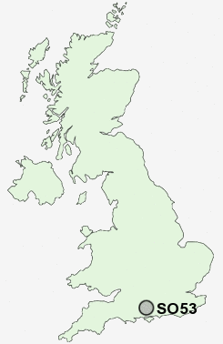
Postcode : SO53, Hampshire
Postcodes in the SO53 sector. Covering areas such as Hiltingbury, Valley Park, Boyatt Wood, Hocombe, Chandler's Ford, Fryern Hill, Flexford and Hampshire.
Postcode Area SO : Southampton
SO53 Postcode Sectors
SO53 Nearby Postcode Districts
PO17 PO8 SO14 SO15 SO16 SO17 SO18 SO19 SO21 SO22 SO23 SO24 SO30 SO32 SO40 SO43 SO50 SO51 SO52 SO53 SP5
Stations near to SO53
Chandlers Ford Rail StationEastleigh Rail Station about 1.65 miles away.
Southampton Airport Parkway Rail Station about 2.41 miles away.
Swaythling Rail Station about 2.96 miles away.
SO53 Schools
Fryern Junior SchoolThe Toynbee School
Scantabout Primary School
Hiltingbury Junior School
Hiltingbury Infant School
Thornden School
Crestwood Community School
Shakespeare Junior School
The Crescent Primary School
Nightingale Primary School
Norwood Primary School
Quilley School of Engineering
UK Search
Antique Furniture
1000s of pieces of Antique Furniture for sale from British antique dealers.