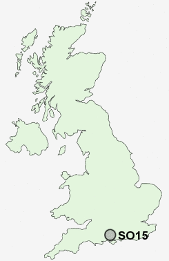
Postcode : SO15, Southampton
Postcodes in the SO15 sector. Covering areas such as Upper Shirley, Redbridge, Freemantle, Shirley and Southampton in Hampshire.
Postcode Area SO : Southampton
SO15 Postcode Sectors
SO15 Nearby Postcode Districts
BH24 PO14 PO15 PO16 PO17 PO2 PO3 PO6 PO7 SO14 SO15 SO16 SO17 SO18 SO19 SO30 SO31 SO32 SO40 SO43 SO45 SO50 SO51 SO52 SO53 SP6
Stations near to SO15
Millbrook (Hants) Rail Station about 0.56 miles away.Southampton Central Rail Station about 0.72 miles away.
St Denys Rail Station about 1.59 miles away.
Southampton Town Quay about 1.62 miles away.
Bitterne Rail Station about 2.01 miles away.
Redbridge (Hants) Rail Station about 2.07 miles away.
Woolston Rail Station about 2.32 miles away.
Swaythling Rail Station about 2.67 miles away.
SO15 Schools
Foundry Lane Primary SchoolWordsworth Infant School
Regents Park Community College
Shirley Warren Primary & Nursery School
Hollybrook Junior School
Mason Moor Primary School
Hollybrook Infant School
UK Search
Antique Furniture
1000s of pieces of Antique Furniture for sale from British antique dealers.