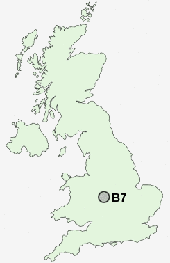
Postcode : B7, Birmingham, West Midlands
Postcodes in the B7 sector. Covering areas such as Newton Regis, Hill Top, Swan Village, The Alders, Shuttington, Charlemont, Golds Green, Clifton Campville, Elford, Minworth, Bolehall, Four Oaks, Warton, Mere Green, Coton, Staffordshire, Sandwell and Birmingham in Warwickshire, West Midlands.
Postcode Area B : Birmingham
B7 Postcode Sectors
B7 Nearby Postcode Districts
B1 B10 B11 B12 B13 B14 B15 B16 B17 B18 B19 B2 B20 B21 B23 B24 B25 B26 B27 B28 B29 B3 B30 B31 B32 B33 B34 B35 B36 B37 B38 B4 B40 B42 B43 B44 B46 B5 B6 B62 B63 B64 B65 B66 B67 B68 B69 B7 B70 B71 B72 B73 B74 B75 B76 B8 B9 B90 B91 B92 CV1 CV10 CV12 CV3 CV4 CV5 CV6 CV7 CV9 DY1 DY2 DY3 DY4 DY5 DY6 DY7 DY8 DY9 WS1 WS10 WS2 WS5 WV1 WV13 WV14 WV2 WV3 WV4 WV5
Stations near to B7
Aston Rail Station about 0.78 miles away.Adderley Park Rail Station about 0.99 miles away.
Birmingham Moor Street Rail Station about 1.26 miles away.
Birmingham Snow Hill Rail Station about 1.28 miles away.
Bordesley Rail Station about 1.47 miles away.
Birmingham New Street Rail Station about 1.55 miles away.
Jewellery Quarter Rail Station about 1.71 miles away.
Chester Road Rail Station about 3.4 miles away.
B7 Schools
The Heartlands High SchoolAston Manor School
Park View School
Bordesley Green Girls' School & Sixth Form
Wyndcliffe Primary School
Holte School
Broadway School
UK Search
Antique Clocks
Browse Antique Clocks for sale from British antique dealers.