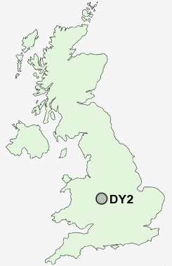
Postcode : DY2, Dudley, West Midlands
Postcodes in the DY2 sector. Covering areas such as Tansley Hill, Hart's Hill, Netherton, Primrose Hill, Woodside, Baptist End and Dudley in West Midlands.
Postcode Area DY : Dudley
DY2 Postcode Sectors
DY2 Nearby Postcode Districts
B1 B10 B11 B12 B13 B14 B15 B16 B17 B18 B19 B2 B20 B21 B23 B24 B25 B26 B27 B28 B29 B3 B30 B31 B32 B33 B34 B35 B36 B37 B38 B4 B40 B42 B43 B44 B46 B5 B6 B62 B63 B64 B65 B66 B67 B68 B69 B7 B70 B71 B72 B73 B74 B75 B76 B8 B9 B90 B91 B92 DY1 DY2 DY3 DY4 DY5 DY6 DY7 DY8 DY9 WS1 WS10 WS2 WS5 WV1 WV13 WV14 WV15 WV16 WV2 WV3 WV4 WV5 WV6
Stations near to DY2
Cradley Heath Rail Station about 1.87 miles away.Old Hill Rail Station about 2 miles away.
Dudley Port Rail Station about 2.36 miles away.
Rowley Regis Rail Station about 2.44 miles away.
Tipton Rail Station about 2.45 miles away.
Lye (West Midlands) Rail Station about 2.91 miles away.
Coseley Rail Station about 3.4 miles away.
DY2 Schools
Brickhouse Primary SchoolOakham Primary School
Reddal Hill Primary School
Corngreaves Junior and Infant School
Old Hill Primary School
Grace Mary Primary School
Rowley Hall Primary School
Temple Meadow Primary School
UK Search
Antique Jewellery
including Antique Engagement Rings for sale from UK Antique specialists.