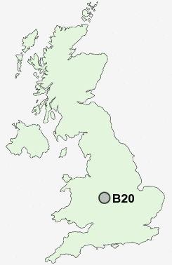
Postcode : B20, Birmingham, West Midlands
Postcodes in the B20 sector. Covering areas such as Handsworth Wood, Brown's Green, Birchfield and Birmingham in West Midlands.
Postcode Area B : Birmingham
B20 Postcode Sectors
B20 Nearby Postcode Districts
B1 B10 B11 B12 B13 B14 B15 B16 B17 B18 B19 B2 B20 B21 B23 B24 B25 B26 B27 B28 B29 B3 B30 B32 B33 B34 B35 B36 B37 B4 B40 B42 B43 B44 B46 B5 B6 B62 B63 B64 B65 B66 B67 B68 B69 B7 B70 B71 B72 B73 B74 B75 B76 B78 B8 B9 B92 CV7 CV9 DY1 DY2 DY3 DY4 DY5 DY6 DY7 DY8 DY9 WS1 WS10 WS2 WS4 WS5 WS9 WV1 WV11 WV12 WV13 WV14 WV2 WV3 WV4 WV5 WV6
Stations near to B20
Jewellery Quarter Rail Station about 1.71 miles away.Aston Rail Station about 2.05 miles away.
Birmingham Snow Hill Rail Station about 2.26 miles away.
Birmingham New Street Rail Station about 2.61 miles away.
Birmingham Moor Street Rail Station about 2.64 miles away.
Duddeston Rail Station about 2.64 miles away.
Five Ways Rail Station about 2.97 miles away.
Bordesley Rail Station about 3.37 miles away.
B20 Schools
Handsworth Wood Girls' Visual and Performing Arts Specialist College and Sixth Form CentreJames Watt Primary School
Aston Manor School
Ferndale Primary School
Hamstead Junior School
Perry Beeches School
Hamstead Infant School
UK Search
Antique Clocks
Browse Antique Clocks for sale from British antique dealers.