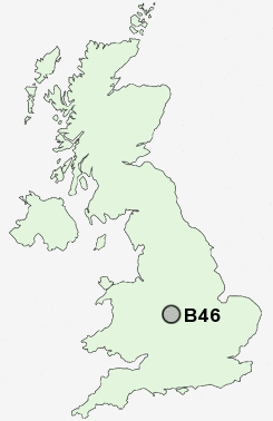
Postcode : B46, Warwickshire, West Midlands
Postcodes in the B46 sector. Covering areas such as Monwode Lea, Cole End, Maxstoke, Coleshill, Over Whitacre, Nether Whitacre, Hoggrill's End, Church End, Water Orton, Gilson, Duke End, Furnace End, Botts Green, Blyth End and Warwickshire in West Midlands.
Postcode Area B : Birmingham
B46 Postcode Sectors
B46 2 Blyth End, Botts Green, Church End, Furnace End, Hoggrill's End
B46 1 Chattle Hill, Cole End, Coleshill, Gilson, Water Orton
B46 1 Chattle Hill, Cole End, Coleshill, Gilson, Water Orton
B46 Nearby Postcode Districts
B1 B10 B11 B12 B13 B14 B15 B16 B17 B18 B19 B2 B20 B21 B23 B24 B25 B26 B27 B28 B29 B3 B30 B31 B32 B33 B34 B35 B36 B37 B4 B40 B42 B43 B44 B46 B5 B6 B62 B63 B64 B65 B66 B67 B68 B69 B7 B70 B71 B72 B73 B74 B75 B76 B78 B8 B9 B91 B92 CV1 CV10 CV11 CV12 CV2 CV5 CV6 CV7 CV9 DY2 DY4 LE10 WS1 WS10 WS2 WS4 WS5 WV12 WV13 WV14
Stations near to B46
Coleshill Parkway Rail Station about 0.84 miles away.Water Orton Rail Station about 2.19 miles away.
B46 Schools
High Meadow Infant SchoolColeshill CofE Primary School
Shustoke CofE Primary School
St Edward's Catholic Primary School
The Coleshill School - a Maths and Computing College
UK Search
Antique Clocks
Browse Antique Clocks for sale from British antique dealers.