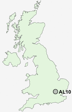
Postcode : AL10, Hertfordshire
Postcodes in the AL10 sector. Covering areas such as Hatfield Garden Village, Oxlease, Birchwood, Hatfield, South Hatfield, Ellenbrook, Nast Hyde, Roe Green and Hertfordshire.
Postcode Area AL : St Albans
AL10 Postcode Sectors
AL10 Nearby Postcode Districts
AL1 AL10 AL2 AL3 AL4 AL5 AL6 AL7 AL8 AL9 CM16 CM17 CM18 CM19 CM20 CM21 EN10 EN11 EN6 EN7 EN8 EN9 HP1 HP2 HP3 HP4 HP5 HP6 HP7 SG10 SG12 SG13 SG14 SG3 WD17 WD2 WD24 WD25 WD4 WD5 WD7
Stations near to AL10
Hatfield (Herts) Rail Station about 0.67 miles away.Welham Green Rail Station about 1.83 miles away.
Brookmans Park Rail Station about 2.9 miles away.
Welwyn Garden City Rail Station about 3.04 miles away.
AL10 Schools
Bishop's Hatfield Girls' SchoolOak View Primary and Nursery School
Onslow St Audrey's School
De Havilland Primary School
Howe Dell Primary School
Green Lanes Primary School
The Ryde School
UK Search
Antique Clocks
Browse Antique Clocks for sale from British antique dealers.