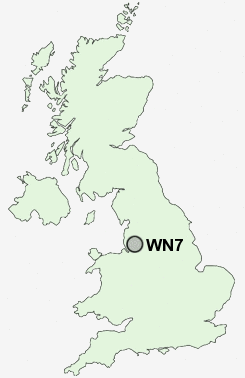
Postcode : WN7, Wigan, Greater Manchester
Postcodes in the WN7 sector. Covering areas such as Pennington, Crankwood, Lilford, Pickley Green, Westleigh, Plank Lane, Lately Common, Bedford, Pocket Nook, Higher Folds, Leigh, Firs Lane and Wigan in Greater Manchester, Cheshire.
Postcode Area WN : Wigan
WN7 Postcode Sectors
WN7 2 Bedford, Higher Folds
WN7 4 Crankwood, Pennington, Plank Lane
WN7 5 Firs Lane, Pickley Green, Westleigh
WN7 4 Crankwood, Pennington, Plank Lane
WN7 5 Firs Lane, Pickley Green, Westleigh
WN7 Nearby Postcode Districts
BL1 BL2 BL3 BL4 BL5 BL6 BL9 L11 L12 L14 L16 L28 L32 L33 L34 L35 L36 L39 M1 M11 M12 M13 M14 M15 M16 M17 M18 M19 M2 M20 M21 M23 M24 M25 M26 M27 M28 M29 M3 M30 M31 M32 M33 M34 M35 M38 M4 M40 M41 M43 M44 M45 M46 M5 M6 M60 M7 M8 M9 OL10 OL9 SK1 SK3 SK4 SK5 WA10 WA11 WA12 WA2 WA3 WA5 WA9 WN1 WN2 WN3 WN4 WN5 WN6 WN7 WN8
Stations near to WN7
Hag Fold Rail Station about 2.64 miles away.Atherton Rail Station about 2.66 miles away.
Daisy Hill Rail Station about 2.86 miles away.
WN7 Schools
Leigh Central Primary SchoolBedford High School
Newton Westpark Primary School
Westleigh High School
Higher Folds Primary School
Gilded Hollins Community School
UK Search
Antique Furniture
1000s of pieces of Antique Furniture for sale from British antique dealers.