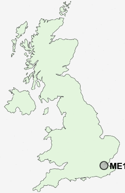
Postcode : ME1, Medway, Kent
Postcodes in the ME1 sector. Covering areas such as Five Wents, Nettlestead, Grove Green, Birling, Chart Sutton, Goodnestone, Eastling, Tovil, The Brents, Hucking, Rushenden, Rhode Common, Frith, Whitehill, Kent and Medway.
Postcode Area ME : Medway
ME1 Postcode Sectors
ME1 Nearby Postcode Districts
BR5 BR8 DA1 DA10 DA11 DA12 DA13 DA14 DA15 DA16 DA2 DA3 DA4 DA5 DA6 DA7 DA9 ME1 ME10 ME11 ME12 ME13 ME14 ME16 ME19 ME2 ME20 ME3 ME4 ME5 ME6 ME7 ME8 ME9 RM18 TN13 TN14 TN15
Stations near to ME1
Rochester Rail Station about 1.04 miles away.Chatham Rail Station about 1.08 miles away.
Cuxton Rail Station about 1.66 miles away.
Strood Rail Station about 1.7 miles away.
Gillingham (Kent) Rail Station about 2.37 miles away.
ME1 Schools
Fort Pitt Grammar SchoolChatham Grammar School for Boys
Chatham South School
Medway Community College
Ridge Meadow Primary School
Walderslade Girls' School
Elaine Primary School
All Faiths' Children's Community School
Greenacre School
UK Search
Antique Furniture
1000s of pieces of Antique Furniture for sale from British antique dealers.