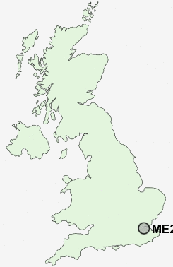
Postcode : ME2, Medway, Kent
Postcodes in the ME2 sector. Covering areas such as Holt Hill, Rochester, Lower Bush, New Town, New Hythe, Forstal, Lunsford, Royal British Legion Village, Millhall, Frindsbury, Eccles, Strood, Upper Upnor, Pratling Street, Aylesford, Kent and Medway.
Postcode Area ME : Medway
ME2 Postcode Sectors
ME2 Nearby Postcode Districts
BR5 BR6 BR8 DA1 DA10 DA11 DA12 DA13 DA14 DA15 DA16 DA17 DA18 DA2 DA3 DA4 DA5 DA6 DA7 DA8 DA9 ME1 ME10 ME11 ME12 ME19 ME2 ME20 ME3 ME4 ME5 ME6 ME7 ME8 ME9 RM16 RM17 RM18 RM19 RM20 SE2 TN14 TN15
Stations near to ME2
Strood Rail Station about 0.69 miles away.Rochester Rail Station about 1.14 miles away.
Cuxton Rail Station about 1.63 miles away.
Chatham Rail Station about 1.72 miles away.
Higham Rail Station about 2.53 miles away.
Halling Rail Station about 3.25 miles away.
ME2 Schools
Elaine Primary SchoolAll Faiths' Children's Community School
Chapter School
Temple School
Bligh Junior School
St Peter's Infant School
Fort Pitt Grammar School
UK Search
Antique Furniture
1000s of pieces of Antique Furniture for sale from British antique dealers.