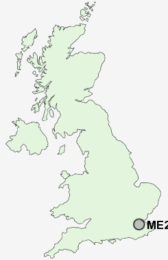
Postcode : ME20, Kent
Postcodes in the ME20 sector. Covering areas such as Larkfield, New Hythe, Royal British Legion Village, Pratling Street, Millhall, Lunsford, Forstal, Kit's Coty, Ditton, Aylesford, Little Preston, Holt Hill, Eccles and Kent.
Postcode Area ME : Medway
ME20 Postcode Sectors
ME20 Nearby Postcode Districts
BR5 BR6 BR8 DA13 DA3 DA4 ME1 ME10 ME14 ME15 ME16 ME17 ME18 ME19 ME2 ME20 ME4 ME5 ME6 ME7 ME8 ME9 TN10 TN11 TN13 TN14 TN15
Stations near to ME20
Aylesford Rail Station about 0.37 miles away.New Hythe Rail Station about 0.59 miles away.
East Malling Rail Station about 1.6 miles away.
Barming Rail Station about 1.61 miles away.
Snodland Rail Station about 1.82 miles away.
West Malling Rail Station about 2 miles away.
Halling Rail Station about 3.34 miles away.
East Farleigh Rail Station about 3.6 miles away.
ME20 Schools
Brookfield Junior SchoolBrookfield Infant School
Lunsford Primary School
St James the Great Primary and Nursery School
The Holmesdale School
St Katherine's School
UK Search
Antique Furniture
1000s of pieces of Antique Furniture for sale from British antique dealers.