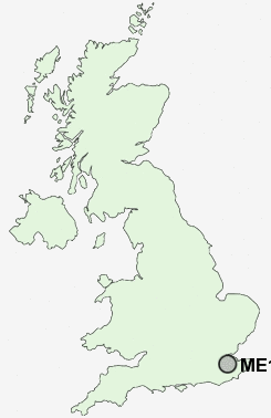
Postcode : ME17 3, Kent
Postcodes in the ME17 3 district. Covering areas such as Sutton Valence, Chart Hill, The Harbour, Langley Heath, Lamb's Cross, Chart Corner, Five Wents, Warmlake, Langley, Rabbit's Cross, Chart Sutton and Kent.
Postcode Area ME : Medway
ME17 Postcode Sectors
ME17 1 Ashbank, Broad Street, Broomfield, Chegworth, Eyhorne Street
ME17 4 Boughton Green, Boughton Monchelsea, Cock Street, Coxheath, Linton
ME17 4 Boughton Green, Boughton Monchelsea, Cock Street, Coxheath, Linton
ME17 2 Boughton Malherbe, Broadstone, Grafty Green, Leadingcross Green, Lenham
ME17 3 Chart Corner, Chart Hill, Chart Sutton, Five Wents, Lamb's Cross
ME17 3 Chart Corner, Chart Hill, Chart Sutton, Five Wents, Lamb's Cross
ME17 3 Nearby Postcode Districts
ME13 ME14 ME15 ME16 ME17 ME18 ME19 ME20 TN1 TN10 TN11 TN12 TN15 TN2 TN23 TN24 TN25 TN27 TN3 TN4 TN9
Stations near to ME17 3
Hollingbourne Rail Station about 3.65 miles away.Staplehurst Rail Station about 3.68 miles away.
ME17 3 Schools
Sutton Valence SchoolSutton Valence Primary School
Kingswood Primary School
UK Search
Antique Furniture
1000s of pieces of Antique Furniture for sale from British antique dealers.