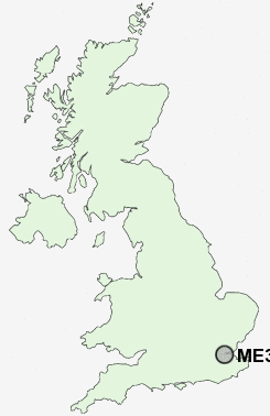
Postcode : ME3 8, Medway, Kent
Postcodes in the ME3 8 district. Covering areas such as Cliffe Woods, High Halstow, Noke Street, Cooling, Lower Upnor, St Mary Hoo, Chattenden, Fenn Street, Broad Street, Wainscott, Sharnal Street, Mockbeggar and Medway in Kent.
Postcode Area ME : Medway
ME3 Postcode Sectors
ME3 9 Allhallows, Allhallows-on-Sea, Hoo St Werburgh, Lower Stoke, Middle Stoke
ME3 8 Broad Street, Chattenden, Cliffe Woods, Cooling, Fenn Street
ME3 8 Broad Street, Chattenden, Cliffe Woods, Cooling, Fenn Street
ME3 8 Nearby Postcode Districts
BR8 DA1 DA10 DA11 DA12 DA13 DA14 DA16 DA17 DA18 DA2 DA3 DA4 DA5 DA6 DA7 DA8 DA9 ME1 ME10 ME11 ME12 ME2 ME3 ME4 ME5 ME6 ME7 ME8 ME9 RM15 RM16 RM17 RM18 RM19 RM20 SE2 SE28
Stations near to ME3 8
Strood Rail Station about 1.36 miles away.Higham Rail Station about 1.95 miles away.
Rochester Rail Station about 2.08 miles away.
Chatham Rail Station about 2.5 miles away.
Gillingham (Kent) Rail Station about 2.7 miles away.
Cuxton Rail Station about 3.51 miles away.
ME3 8 Schools
Hilltop Primary SchoolTemple School
All Faiths' Children's Community School
Cliffe Woods Primary School
UK Search
Antique Furniture
1000s of pieces of Antique Furniture for sale from British antique dealers.