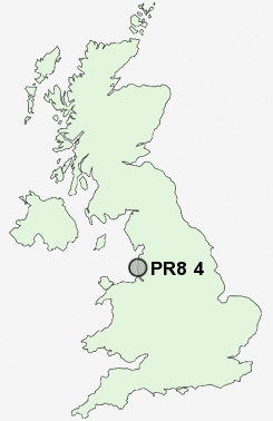
Postcode : PR8 4, Sefton, Merseyside
Postcodes in the PR8 4 district. Covering areas such as Birkdale, Hillside and Sefton in Merseyside.
Postcode Area PR : Preston
PR8 Postcode Sectors
PR8 4 Nearby Postcode Districts
L37 L38 L39 L40 PR25 PR26 PR7 PR8 PR9 WN1 WN3 WN5 WN6 WN8
Stations near to PR8 4
Hillside Rail StationBirkdale Rail Station about 0.84 miles away.
Ainsdale Rail Station about 1.66 miles away.
Southport Rail Station about 1.83 miles away.
Meols Cop Rail Station about 2.5 miles away.
PR8 4 Schools
Greenbank High SchoolFarnborough Road Junior School
Farnborough Road Infant School
Birkdale High School
Christ The King Catholic High School and Sixth Form Centre
St Teresa's Catholic Infant and Nursery School
Birkdale Primary School
Sunnymede School
Linaker Primary School
UK Search
Antique Furniture
1000s of pieces of Antique Furniture for sale from British antique dealers.