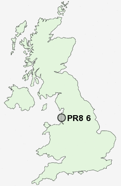
Postcode : PR8 6, Sefton, Merseyside
Postcodes in the PR8 6 district. Covering areas such as Blowick and Sefton in Merseyside.
Postcode Area PR : Preston
PR8 Postcode Sectors
PR8 6 Nearby Postcode Districts
L37 L39 L40 PR25 PR26 PR5 PR6 PR7 PR8 PR9 WN1 WN6 WN8
Stations near to PR8 6
Meols Cop Rail Station about 0.37 miles away.Southport Rail Station about 1.11 miles away.
Birkdale Rail Station about 1.61 miles away.
Hillside Rail Station about 2.35 miles away.
PR8 6 Schools
Meols Cop High SchoolNorwood Primary School
Kew Woods Primary School
Linaker Primary School
Birkdale Primary School
St Teresa's Catholic Infant and Nursery School
Churchtown Primary School
Larkfield Primary School
UK Search
Antique Furniture
1000s of pieces of Antique Furniture for sale from British antique dealers.