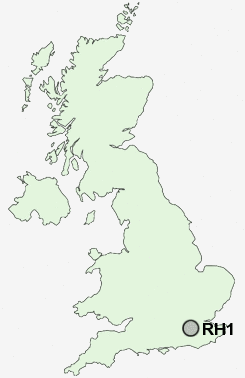
Postcode : RH1, Surrey
Postcodes in the RH1 sector. Covering areas such as Balcombe Lane, Crosspost, North End, Highbrook, Warwick Wold, Walstead, The Common, Ardingly, Nuthurst, Five Oaks, Coolham, Northgate, Wivelsfield Green, Felcourt, Slinfold, West Sussex, Surrey and East Sussex.
Postcode Area RH : Redhill
RH1 Postcode Sectors
RH1 4 Bletchingley, Brewer Street, Nutfield, South Nutfield
RH1 2 Coles Meads, Holmethorpe
RH1 6 Earlswood
RH1 2 Coles Meads, Holmethorpe
RH1 6 Earlswood
RH1 3 Merstham, South Merstham, Warwick Wold
RH1 5 Outwood, Ridge Green, Salfords, South Earlswood, Wasp Green
RH1 1 Redhill
RH1 5 Outwood, Ridge Green, Salfords, South Earlswood, Wasp Green
RH1 1 Redhill
RH1 Nearby Postcode Districts
CR3 CR5 CR6 CR8 GU22 GU23 GU4 GU5 GU6 KT11 KT18 KT20 KT21 KT22 KT23 KT24 RH1 RH2 RH3 RH4 RH5 RH6 RH7 RH8 RH9 SM7 TN13 TN14 TN16 TN8
Stations near to RH1
Redhill Rail Station about 0.44 miles away.Earlswood (Surrey) Rail Station about 0.9 miles away.
Nutfield Rail Station about 1.27 miles away.
Merstham Rail Station about 1.9 miles away.
Reigate Rail Station about 2.05 miles away.
Salfords (Surrey) Rail Station about 2.45 miles away.
RH1 Schools
The Warwick SchoolEarlswood Infant and Nursery School
Earlswood Junior School
St John's Primary School
Wray Common Primary School
Dunottar School
Reigate Grammar School
Merstham Primary School
Reigate School
Furzefield Primary School
UK Search
Antique Furniture
1000s of pieces of Antique Furniture for sale from British antique dealers.