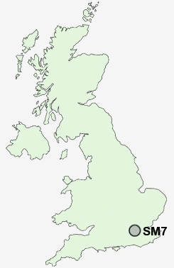
Postcode : SM7, Surrey, London
Postcodes in the SM7 sector. Covering areas such as Nork, Banstead, Woodmansterne and Surrey in London.
Postcode Area SM : Sutton
SM7 Postcode Sectors
SM7 Nearby Postcode Districts
BR1 BR2 BR3 BR4 BR5 BR6 BR7 BR8 CR0 CR2 CR3 CR4 CR5 CR6 CR7 CR8 GU1 GU2 GU21 GU22 GU23 GU25 GU4 KT1 KT10 KT11 KT12 KT13 KT14 KT15 KT16 KT17 KT18 KT19 KT2 KT20 KT21 KT22 KT23 KT24 KT3 KT4 KT5 KT6 KT7 KT8 KT9 RH1 RH2 RH3 RH4 RH8 RH9 SE19 SE20 SE25 SM1 SM2 SM3 SM4 SM5 SM6 SM7 SW16 SW19 SW20 TN13 TN14 TN16 TW12 TW16 TW17
Stations near to SM7
Banstead Rail Station about 0.72 miles away.Belmont Rail Station about 1.44 miles away.
Chipstead Rail Station about 1.62 miles away.
Epsom Downs Rail Station about 1.68 miles away.
Cheam Rail Station about 2.33 miles away.
Ewell East Rail Station about 2.36 miles away.
Carshalton Beeches Rail Station about 2.71 miles away.
Carshalton Rail Station about 3.46 miles away.
SM7 Schools
Banstead Community Junior SchoolBanstead Infant School
Warren Mead Infant School
Warren Mead Junior School
Woodmansterne Primary School
Shawley Community Primary School
Avenue Primary School
Epsom Downs Primary School and Children's Centre
UK Search
Antique Furniture
1000s of pieces of Antique Furniture for sale from British antique dealers.