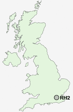
Postcode : RH2, Surrey
Postcodes in the RH2 sector. Covering areas such as Reigate, Heath Common, Sullington, Gatton, Thakeham, Bury, Bury Hollow, Shellwood Cross, Cootham, Nutbourne Common, Cross Gate, Stopham, Mead Vale, West Chiltington, Sutton, West Sussex and Surrey.
Postcode Area RH : Redhill
RH2 Postcode Sectors
RH2 Nearby Postcode Districts
CR3 CR5 CR6 GU1 GU2 GU21 GU22 GU23 GU4 GU5 GU6 KT11 KT18 KT20 KT21 KT22 KT23 KT24 RH1 RH2 RH3 RH4 RH5 RH6 RH7 RH8 RH9 SM7 TN13 TN14 TN16 TN8
Stations near to RH2
Reigate Rail Station about 0.49 miles away.Earlswood (Surrey) Rail Station about 1.45 miles away.
Redhill Rail Station about 1.6 miles away.
Salfords (Surrey) Rail Station about 2.86 miles away.
RH2 Schools
Reigate Priory Community Junior SchoolOrchards School
Holmesdale Community Infant School
Reigate School
Sandcross Primary School
Wray Common Primary School
Dovers Green School
St John's Primary School
Earlswood Infant and Nursery School
Earlswood Junior School
UK Search
Antique Furniture
1000s of pieces of Antique Furniture for sale from British antique dealers.