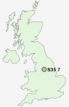
Postcode : S35 7, Sheffield, South Yorkshire
Postcodes in the S35 7 district. Covering areas such as Cundy Hos, Finkle Street, Thurgoland, Wortley, Eastfield, Pinfold Hill, Crane Moor, Green Moor, Howbrook, Sim Hill, Bromley and Sheffield in South Yorkshire.
Postcode Area S : Sheffield
S35 Postcode Sectors
S35 8 Barnes Hall, Grenoside, Whitley, Wood Seats
S35 0 Brightholmlee, Foldrings, Middlewood, Onesacre, Oughtibridge
S35 7 Bromley, Crane Moor, Cundy Hos, Eastfield, Finkle Street
S35 2 Burncross, Chapeltown, Charltonbrook, Hood Hill, Lane End
S35 0 Brightholmlee, Foldrings, Middlewood, Onesacre, Oughtibridge
S35 7 Bromley, Crane Moor, Cundy Hos, Eastfield, Finkle Street
S35 2 Burncross, Chapeltown, Charltonbrook, Hood Hill, Lane End
S35 7 Nearby Postcode Districts
DN12 DN5 HD9 S35 S36 S4 S5 S6 S60 S61 S62 S63 S64 S65 S66 S70 S71 S72 S73 S74 S75 S9
Stations near to S35 7
Silkstone Common Rail Station about 3.14 miles away.S35 7 Schools
Thurgoland Church of England (Voluntary Controlled) Primary SchoolDeepcar St John's Church of England Junior School
Royd Nursery and Infant School
UK Search
Antique Furniture
1000s of pieces of Antique Furniture for sale from British antique dealers.