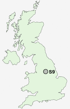
Postcode : S9, Sheffield, South Yorkshire
Postcodes in the S9 sector. Covering areas such as Attercliffe, Darnall, Tinsley, Templeborough, Brightside, Wincobank, Greenland, Carbrook and Sheffield in South Yorkshire.
Postcode Area S : Sheffield
S9 Postcode Sectors
S9 Nearby Postcode Districts
DN11 DN12 S1 S10 S11 S12 S13 S14 S17 S18 S2 S20 S21 S25 S26 S3 S33 S35 S4 S5 S6 S60 S61 S62 S64 S65 S66 S7 S8 S81 S9
Stations near to S9
Darnall Rail Station about 0.94 miles away.Meadowhall Rail Station about 1.36 miles away.
Sheffield Rail Station about 2.31 miles away.
S9 Schools
Brightside Nursery and Infant SchoolLimpsfield Junior School
Acres Hill Community Primary School
Concord Junior School
Pipworth Community Primary School
Athelstan Primary School
UK Search
Antique Furniture
1000s of pieces of Antique Furniture for sale from British antique dealers.