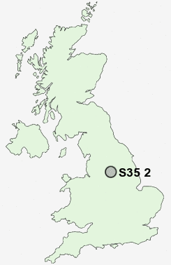
Postcode : S35 2, Sheffield, South Yorkshire
Postcodes in the S35 2 district. Covering areas such as Warren, Burncross, Chapeltown, Hood Hill, Lane End, Charltonbrook and Sheffield in South Yorkshire.
Postcode Area S : Sheffield
S35 Postcode Sectors
S35 8 Barnes Hall, Grenoside, Whitley, Wood Seats
S35 0 Brightholmlee, Foldrings, Middlewood, Onesacre, Oughtibridge
S35 7 Bromley, Crane Moor, Cundy Hos, Eastfield, Finkle Street
S35 2 Burncross, Chapeltown, Charltonbrook, Hood Hill, Lane End
S35 0 Brightholmlee, Foldrings, Middlewood, Onesacre, Oughtibridge
S35 7 Bromley, Crane Moor, Cundy Hos, Eastfield, Finkle Street
S35 2 Burncross, Chapeltown, Charltonbrook, Hood Hill, Lane End
S35 2 Nearby Postcode Districts
DN1 DN11 DN12 DN2 DN4 DN5 S1 S10 S3 S35 S36 S4 S5 S6 S60 S61 S62 S63 S64 S65 S66 S70 S71 S73 S74 S75 S9
Stations near to S35 2
Chapeltown Rail Station about 0.74 miles away.Elsecar Rail Station about 2.39 miles away.
S35 2 Schools
Lound Junior SchoolLound Infant School
Greengate Lane Primary School
High Green Primary School
Windmill Hill Primary School
Coit Primary School
Angram Bank Primary School
Ecclesfield School
UK Search
Antique Furniture
1000s of pieces of Antique Furniture for sale from British antique dealers.