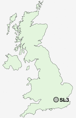
Postcode : SL3, Slough, Berkshire
Postcodes in the SL3 sector. Covering areas such as Slough, Fulmer, George Green, Langley, Colnbrook, Middle Green, Brands Hill, Sutton, Poyle, Datchet, Datchet Common, Wexham Street, Horton, Sunnymeads and Slough in Berkshire, Buckinghamshire.
Postcode Area SL : Slough
SL3 Postcode Sectors
SL3 Nearby Postcode Districts
CR4 GU25 HA0 HA1 HA2 HA3 HA4 HA5 HA9 KT1 KT2 KT3 KT8 N2 NW10 NW11 NW2 NW3 NW4 NW6 NW8 NW9 RG10 RG12 RG40 RG41 RG42 RG5 RG6 RG9 SL0 SL1 SL2 SL3 SL4 SL5 SL6 SL7 SL8 SL9 SW10 SW11 SW13 SW14 SW15 SW17 SW18 SW19 SW1X SW20 SW3 SW5 SW6 SW7 TW1 TW10 TW11 TW12 TW13 TW14 TW15 TW16 TW18 TW19 TW2 TW20 TW3 TW4 TW5 TW6 TW7 TW8 TW9 UB1 UB10 UB11 UB2 UB3 UB4 UB5 UB6 UB7 UB8 UB9 W10 W11 W12 W13 W14 W1H W1U W2 W3 W4 W5 W6 W7 W8 W9
Stations near to SL3
Langley (Berks) Rail Station about 0.77 miles away.Datchet Rail Station about 1.61 miles away.
Slough Rail Station about 1.92 miles away.
Sunnymeads Rail Station about 2.01 miles away.
Iver Rail Station about 2.05 miles away.
Wraysbury Rail Station about 2.89 miles away.
SL3 Schools
Marish Primary SchoolLangleywood School
Castleview Primary School
Foxborough Primary School
Parlaunt Park Primary School
Lea Infant School
Lea Junior School
UK Search
Antique Furniture
1000s of pieces of Antique Furniture for sale from British antique dealers.