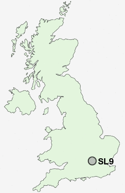
Postcode : SL9, Buckinghamshire
Postcodes in the SL9 sector. Covering areas such as Gravel Hill, Tatling End, Layters Green, Austenwood, Chalfont St Peter, Chalfont Grove, Chalfont Common, Gerrards Cross and Buckinghamshire.
Postcode Area SL : Slough
SL9 Postcode Sectors
SL9 Nearby Postcode Districts
EN4 EN5 HA0 HA1 HA2 HA3 HA4 HA5 HA6 HA7 HA8 HA9 HP10 HP11 HP12 HP13 HP14 HP15 HP6 HP7 HP8 HP9 N12 N2 N20 N3 NW10 NW11 NW2 NW3 NW4 NW6 NW7 NW8 NW9 RG9 SL0 SL1 SL2 SL3 SL6 SL7 SL8 SL9 UB1 UB10 UB11 UB2 UB3 UB4 UB5 UB6 UB7 UB8 UB9 W10 W11 W12 W13 W1H W2 W3 W5 W7 W8 W9 WD1 WD17 WD18 WD19 WD2 WD23 WD24 WD25 WD3 WD6 WD7
Stations near to SL9
Gerrards Cross Rail Station about 0.55 miles away.Denham Golf Club Rail Station about 1.92 miles away.
SL9 Schools
Thorpe House SchoolKingscote School
St Mary's School
Gayhurst School
Maltmans Green School
Chalfont St Peter CofE School
Chalfont St Peter Infant School
The Chalfonts Community College
Robertswood School
UK Search
Antique Furniture
1000s of pieces of Antique Furniture for sale from British antique dealers.