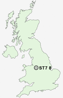
Postcode : ST7 8, Staffordshire
Postcodes in the ST7 8 district. Covering areas such as Wereton, Bignall End, Dunkirk, Boon Hill, Miles Green, Foxley, Butters Green, Knowl Bank, Shraleybrook, Park End, Alsagers Bank, Wood Lane, Audley, Halmer End and Staffordshire.
Postcode Area ST : Stoke on Trent
ST7 Postcode Sectors
ST7 4 Acres Nook, Dales Green, Harriseahead, Newchapel, Packmoor
ST7 2 Alsager, Lawton Heath End
ST7 8 Alsagers Bank, Audley, Bignall End, Boon Hill, Butters Green
ST7 2 Alsager, Lawton Heath End
ST7 8 Alsagers Bank, Audley, Bignall End, Boon Hill, Butters Green
ST7 1 Butt Lane, Clough Hall, Coalpit Hill, Hardings Wood, Hollins
ST7 3 Church Lawton, Hall Green, Lawton-gate, Mount Pleasant, Mow Cop
ST7 3 Church Lawton, Hall Green, Lawton-gate, Mount Pleasant, Mow Cop
ST7 8 Nearby Postcode Districts
CW1 CW11 CW2 CW3 CW5 ST1 ST10 ST11 ST13 ST2 ST3 ST4 ST5 ST6 ST7 ST8 ST9
Stations near to ST7 8
Kidsgrove Rail Station about 2.78 miles away.Alsager Rail Station about 3.01 miles away.
ST7 8 Schools
Wood Lane Primary SchoolRavensmead Primary School
Crackley Bank Primary School
Chesterton Community Sports College
Sir Thomas Boughey High School
Chesterton Primary School
Springhead Primary School
Churchfields Primary School
UK Search
Antique Furniture
1000s of pieces of Antique Furniture for sale from British antique dealers.