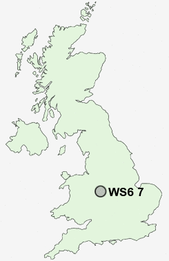
Postcode : WS6 7, Staffordshire
Postcodes in the WS6 7 district. Covering areas such as Upper Landywood, Littlewood, Cheslyn Hay and Staffordshire.
Postcode Area WS : Walssal
WS6 Postcode Sectors
WS6 7 Nearby Postcode Districts
B43 B72 B73 B74 B75 B77 B78 B79 ST19 TF11 WS1 WS10 WS11 WS12 WS13 WS14 WS2 WS3 WS4 WS5 WS6 WS7 WS8 WS9 WV1 WV10 WV11 WV12 WV13 WV14 WV2 WV3 WV4 WV6 WV7 WV8 WV9
Stations near to WS6 7
Landywood Rail Station about 0.65 miles away.Bloxwich North Rail Station about 1.53 miles away.
Bloxwich Rail Station about 2.07 miles away.
Cannock Rail Station about 2.69 miles away.
WS6 7 Schools
Landywood Primary SchoolGlenthorne Community Primary School
Moat Hall Primary School
Cheslyn Hay Primary School
Cheslyn Hay Sport and Community High School
Great Wyrley High School
UK Search
Antique Furniture
1000s of pieces of Antique Furniture for sale from British antique dealers.