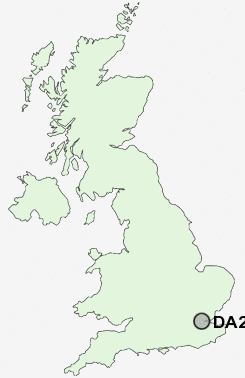
Postcode : DA2 8, Kent
Postcodes in the DA2 8 district. Covering areas such as Bean, Green Street Green, Stonewood and Kent.
Postcode Area DA : Dartford
DA2 Postcode Sectors
DA2 8 Nearby Postcode Districts
BR1 BR2 BR3 BR4 BR5 BR6 BR7 BR8 CR0 CR2 CR7 DA1 DA10 DA11 DA12 DA13 DA14 DA15 DA16 DA17 DA18 DA2 DA3 DA4 DA5 DA6 DA7 DA8 DA9 E1 E13 E14 E16 E1W E2 E3 E6 EC1 EC1A EC1M EC1R EC1V EC1Y EC2 EC2A EC2M EC2N EC2R EC2V EC2Y EC3 EC3A EC3M EC3N EC3P EC3R EC3V EC4 EC4A EC4M EC4N EC4R EC4V EC4Y ME1 ME2 ME3 ME4 ME5 ME7 ME8 RM13 RM15 RM16 RM17 RM18 RM19 RM20 SE1 SE10 SE12 SE13 SE14 SE15 SE16 SE17 SE18 SE19 SE2 SE20 SE21 SE22 SE23 SE24 SE25 SE26 SE27 SE28 SE3 SE4 SE5 SE6 SE7 SE8 SE9 SS17 SS8
Stations near to DA2 8
Ebbsfleet International Rail Station about 1.54 miles away.Swanscombe Rail Station about 1.56 miles away.
Greenhithe for Bluewater Rail Station about 1.57 miles away.
Northfleet Rail Station about 1.78 miles away.
Stone Crossing Rail Station about 1.99 miles away.
Longfield Rail Station about 2.3 miles away.
Grays Rail Station about 3.49 miles away.
DA2 8 Schools
Bean Primary SchoolThe Sweyne Junior School
Swanscombe Infant School and Nursery
Swan Valley Community School
The Craylands School
Knockhall Community Primary School
Sedley's Church of England Voluntary Aided Primary School
Darenth Community Primary School
Stone St Mary's CofE Primary School
UK Search
Antique Jewellery
including Antique Engagement Rings for sale from UK Antique specialists.