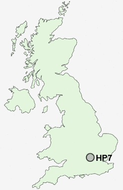
Postcode : HP7, Buckinghamshire
Postcodes in the HP7 sector. Covering areas such as Coleshill, Woodrow, Beamond End, Penn Street, Mantles Green, Amersham Old Town, Little Chalfont, Winchmore Hill, Penn Bottom, Amersham Common, Little Missenden, Little Missnden and Buckinghamshire.
Postcode Area HP : Hemel Hempstead
HP7 Postcode Sectors
HP7 Nearby Postcode Districts
AL1 AL10 AL2 HA1 HA2 HA3 HA4 HA5 HA6 HA7 HA8 HP1 HP10 HP11 HP12 HP13 HP14 HP15 HP16 HP2 HP27 HP3 HP5 HP6 HP7 HP8 HP9 NW4 NW7 NW9 OX39 OX49 OX9 SL7 SL8 SL9 UB9 WD1 WD17 WD18 WD19 WD2 WD23 WD24 WD25 WD3 WD4 WD5 WD6 WD7
Stations near to HP7
Amersham Rail Station about 0.64 miles away.Chalfont & Latimer Rail Station about 2.05 miles away.
HP7 Schools
The Amersham SchoolSt Mary's CofE Primary School, Amersham
Woodside Junior School
Heatherton House School
Chestnut Lane School
Elangeni School
The Beacon School
Bell Lane Combined School
UK Search
Antique Jewellery
including Antique Engagement Rings for sale from UK Antique specialists.