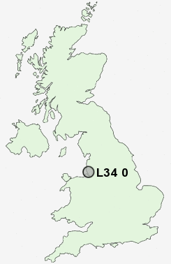
Postcode : L34 0, Knowsley, Merseyside
Postcodes in the L34 0 district. Covering areas such as Knowsley and Knowsley in Merseyside.
Postcode Area L : Liverpool
L34 Postcode Sectors
L34 0 Nearby Postcode Districts
BL5 CH41 CH42 CH43 CH44 CH45 CH46 CH47 CH48 CH49 L1 L10 L11 L12 L13 L14 L15 L16 L17 L18 L19 L2 L20 L21 L22 L23 L25 L26 L27 L28 L29 L3 L30 L31 L32 L33 L34 L35 L36 L38 L4 L5 L6 L69 L7 L70 L8 L9 M29 M46 WA1 WA10 WA11 WA12 WA13 WA2 WA3 WA4 WA5 WA8 WA9 WN2 WN3 WN4 WN5 WN7 WN8
Stations near to L34 0
Roby Rail Station about 2.99 miles away.Huyton Rail Station about 3.03 miles away.
Broad Green Rail Station about 3.65 miles away.
L34 0 Schools
Knowsley Village SchoolNine Tree Primary School
Brookside Community Primary School
Park Brow Community Primary School
Cherryfield Primary School
Longview Community School
UK Search
Antique Jewellery
including Antique Engagement Rings for sale from UK Antique specialists.