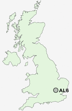
Postcode : AL6, Hertfordshire
Postcodes in the AL6 sector. Covering areas such as Pottersheath, Digswell, Ayot Green, Oaklands, Ayot St Lawrence, Burnham Green, Welwyn, Danesbury, The Frythe, Ayot St Peter, Harmer Green, Rableyheath, Digswell Water, Tewin Wood and Hertfordshire.
Postcode Area AL : St Albans
AL6 Postcode Sectors
AL6 Nearby Postcode Districts
AL1 AL10 AL3 AL4 AL5 AL6 AL7 AL8 AL9 CM17 CM18 CM19 CM20 CM21 CM23 EN10 EN11 HP1 HP2 HP3 HP4 LU1 LU2 LU3 LU4 LU5 LU6 SG1 SG10 SG11 SG12 SG13 SG14 SG2 SG3 SG4
Stations near to AL6
Welwyn North Rail Station about 0.56 miles away.Welwyn Garden City Rail Station about 2.09 miles away.
Knebworth Rail Station about 2.51 miles away.
AL6 Schools
Oaklands Primary SchoolHomerswood Primary and Nursery School
Monks Walk School
Harwood Hill Junior Mixed Infant and Nursery School
Templewood Primary School
UK Search
Antique Clocks
Browse Antique Clocks for sale from British antique dealers.