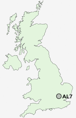
Postcode : AL7, Hertfordshire
Postcodes in the AL7 sector. Covering areas such as Hall Grove, Woodhall, Hatfield Hyde, Panshanger, Welwyn Garden City, Peartree, Haldens and Hertfordshire.
Postcode Area AL : St Albans
AL7 Postcode Sectors
AL7 Nearby Postcode Districts
AL1 AL10 AL2 AL3 AL4 AL5 AL6 AL7 AL8 AL9 CM16 CM17 CM18 CM19 CM20 CM21 CM23 EN10 EN11 EN6 EN7 EN8 HP1 HP2 HP3 HP4 LU1 LU2 LU6 SG10 SG11 SG12 SG13 SG14 SG2 SG3 WD4 WD5
Stations near to AL7
Welwyn Garden City Rail Station about 0.82 miles away.Welwyn North Rail Station about 1.85 miles away.
Hatfield (Herts) Rail Station about 2.61 miles away.
AL7 Schools
Panshanger Primary SchoolSir Frederic Osborn School
Watchlytes Junior Mixed Infant and Nursery School
Springmead Primary School
Creswick Primary & Nursery School
Commonswood Primary & Nursery School
Applecroft School
Stanborough School
Homerswood Primary and Nursery School
Monks Walk School
UK Search
Antique Clocks
Browse Antique Clocks for sale from British antique dealers.