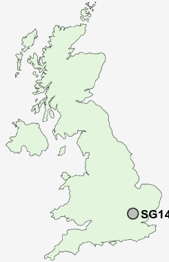
Postcode : SG14, Hertford, Hertfordshire
Postcodes in the SG14 sector. Covering areas such as Letty Green, Hartham, Hertford, East End Green, Cole Green, Blue Hill, Birch Green, Stapleford, Hertingfordbury, Hook's Cross, Bengeo, Bramfield, Waterford, White Hall and Hertford in Hertfordshire.
Postcode Area SG : Stevenage
SG14 Postcode Sectors
SG14 3 Bengeo, Blue Hill, Hartham, Hook's Cross, Stapleford
SG14 2 Birch Green, Bramfield, Broadoak End, Cole Green, East End Green
SG14 2 Birch Green, Bramfield, Broadoak End, Cole Green, East End Green
SG14 Nearby Postcode Districts
AL1 AL10 AL2 AL3 AL4 AL5 AL6 AL7 AL8 AL9 CM17 CM18 CM19 CM20 CM21 CM22 CM23 CM24 CM5 EN10 EN11 EN7 HP1 HP2 HP3 LU1 LU2 LU4 SG10 SG11 SG12 SG13 SG14 SG2 SG3 WD4
Stations near to SG14
Hertford North Rail Station about 0.56 miles away.Hertford East Rail Station about 0.95 miles away.
Bayford Rail Station about 3.41 miles away.
Watton-at-Stone Rail Station about 3.62 miles away.
SG14 Schools
Bengeo Primary SchoolDuncombe School
Mill Mead Primary School
Hollybush Primary School
The Sele School
Abel Smith School
Richard Hale School
St Joseph's in the Park
Simon Balle School
Morgans Primary School & Nursery
Wheatcroft Primary School
UK Search
Antique Furniture
1000s of pieces of Antique Furniture for sale from British antique dealers.