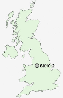
Postcode : SK10 2, Cheshire East, Cheshire
Postcodes in the SK10 2 district. Covering areas such as Tytherington, Hurdsfield, Higher Hurdsfield and Cheshire East.
Postcode Area SK : Stockport
SK10 Postcode Sectors
SK10 4 Adlington, Astle, Booth Green, Bradley Mount, Butley Town
SK10 5 Bollington, Bollington Cross, Brookhouse, Clark Green, Ginclough
SK10 5 Bollington, Bollington Cross, Brookhouse, Clark Green, Ginclough
SK10 2 Nearby Postcode Districts
CW10 CW4 CW7 CW9 M90 SK10 SK11 SK12 SK17 SK22 SK23 SK7 SK9 WA16
Stations near to SK10 2
Macclesfield Rail Station about 1.21 miles away.Prestbury Rail Station about 1.36 miles away.
Adlington (Cheshire) Rail Station about 2.99 miles away.
SK10 2 Schools
The Marlborough Primary SchoolTytherington High School
Hurdsfield Community Primary School
Upton Priory School
Parkroyal Community School
Fallibroome High School
Dean Valley Community Primary School
Puss Bank School
Macclesfield High School
Broken Cross Community School
UK Search
Antique Furniture
1000s of pieces of Antique Furniture for sale from British antique dealers.