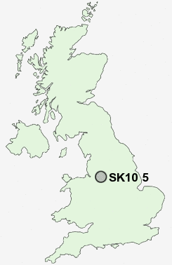
Postcode : SK10 5, Cheshire East, Cheshire
Postcodes in the SK10 5 district. Covering areas such as Kerridge-end, Brookhouse, Clark Green, Bollington, Rainowlow, Kerridge, Tower Hill, Bollington Cross, Whiteley Green, Pott Shrigley, Ginclough, Lowerhouse, Rainow and Cheshire East.
Postcode Area SK : Stockport
SK10 Postcode Sectors
SK10 4 Adlington, Astle, Booth Green, Bradley Mount, Butley Town
SK10 5 Bollington, Bollington Cross, Brookhouse, Clark Green, Ginclough
SK10 5 Bollington, Bollington Cross, Brookhouse, Clark Green, Ginclough
SK10 5 Nearby Postcode Districts
CW4 CW9 M22 M23 M90 S33 SK10 SK11 SK12 SK17 SK2 SK22 SK23 SK3 SK7 SK8 SK9 WA13 WA14 WA15 WA16
Stations near to SK10 5
Adlington (Cheshire) Rail Station about 1.38 miles away.Prestbury Rail Station about 1.47 miles away.
Macclesfield Rail Station about 3.06 miles away.
Poynton Rail Station about 3.35 miles away.
SK10 5 Schools
St Gregory's Catholic Primary SchoolDean Valley Community Primary School
Bollington St John's CofE Primary School
Adlington Primary School
Pott Shrigley Church School
Prestbury CofE Primary School
The Marlborough Primary School
UK Search
Antique Furniture
1000s of pieces of Antique Furniture for sale from British antique dealers.