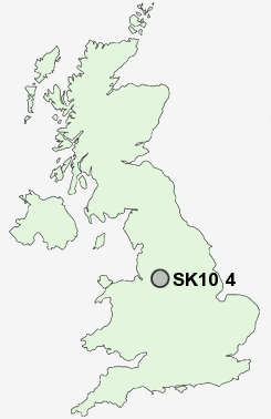
Postcode : SK10 4, Cheshire East, Cheshire
Postcodes in the SK10 4 district. Covering areas such as Nether Alderley, Dale Brow, Butley Town, Greendale, Prestbury, Wood Lanes, Skellorn Green, Midway, Mottram St Andrew, Astle, Booth Green, Whirley Grove, Hope Green, Adlington, Monk's Heath and Cheshire East.
Postcode Area SK : Stockport
SK10 Postcode Sectors
SK10 4 Adlington, Astle, Booth Green, Bradley Mount, Butley Town
SK10 5 Bollington, Bollington Cross, Brookhouse, Clark Green, Ginclough
SK10 5 Bollington, Bollington Cross, Brookhouse, Clark Green, Ginclough
SK10 4 Nearby Postcode Districts
M20 M22 M23 M31 M33 M90 S33 SK1 SK10 SK11 SK12 SK17 SK2 SK22 SK23 SK3 SK4 SK6 SK7 SK8 SK9 WA13 WA14 WA15 WA16
Stations near to SK10 4
Adlington (Cheshire) Rail Station about 1.61 miles away.Poynton Rail Station about 2.01 miles away.
Middlewood Rail Station about 2.14 miles away.
Prestbury Rail Station about 3.19 miles away.
Hazel Grove Rail Station about 3.39 miles away.
SK10 4 Schools
Adlington Primary SchoolWorth Primary School
Poynton High School
St Paul's Catholic Primary School
Vernon Primary School
Pott Shrigley Church School
Lower Park School
UK Search
Antique Furniture
1000s of pieces of Antique Furniture for sale from British antique dealers.