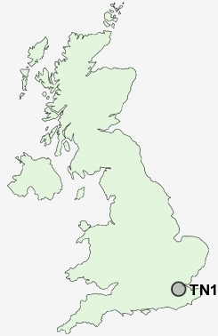
Postcode : TN15 6, Kent
Postcodes in the TN15 6 district. Covering areas such as Noah's Ark, Romney Street, Knatts Valley, Crowdleham, Childsbridge, Heaverham, Kemsing, Woodlands, Knockmill, West Kingsdown, East Hill and Kent.
Postcode Area TN : Tonbridge
TN15 Postcode Sectors
TN15 7 Ash, Fairseat, Hodsoll Street, New Street, Pettings
TN15 8 Basted, Borough Green, Claygate Cross, Comp, Crouch
TN15 0 Bitchet Green, Godden Green, Ivy Hatch, Lower Bitchet, Plaxtol
TN15 8 Basted, Borough Green, Claygate Cross, Comp, Crouch
TN15 0 Bitchet Green, Godden Green, Ivy Hatch, Lower Bitchet, Plaxtol
TN15 6 Childsbridge, Crowdleham, East Hill, Heaverham, Kemsing
TN15 9 Ightham, Ightham Common, Oldbury
TN15 9 Ightham, Ightham Common, Oldbury
TN15 6 Nearby Postcode Districts
BR1 BR2 BR3 BR4 BR5 BR6 BR7 BR8 CR0 CR2 CR3 CR5 CR6 CR7 CR8 DA13 DA3 DA4 ME1 ME14 ME15 ME16 ME17 ME18 ME19 ME2 ME20 ME4 ME5 ME6 ME7 ME8 RH8 RH9 SE19 SE20 SE25 SM6 SW16 TN13 TN14 TN15 TN16
Stations near to TN15 6
Kemsing Rail Station about 1.72 miles away.Otford Rail Station about 2.15 miles away.
Eynsford Rail Station about 3.3 miles away.
TN15 6 Schools
Kemsing Primary SchoolSt Michael's Prep School
UK Search
Antique Furniture
1000s of pieces of Antique Furniture for sale from British antique dealers.