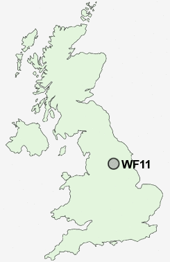
Postcode : WF11, Wakefield, West Yorkshire
Postcodes in the WF11 sector. Covering areas such as Birkin, Brotherton, Byram, Kellingley, Cridling Stubbs, Knottingley, Ferrybridge, Fairburn, Sutton and Wakefield in North Yorkshire, West Yorkshire.
Postcode Area WF : Wakefield
WF11 Postcode Sectors
WF11 Nearby Postcode Districts
DN14 DN8 LS1 LS10 LS11 LS12 LS13 LS15 LS2 LS25 LS26 LS27 LS3 LS4 LS9 WF1 WF10 WF11 WF12 WF13 WF17 WF2 WF3 WF4 WF5 WF6 WF7 WF8 YO8
Stations near to WF11
Knottingley Rail Station about 0.33 miles away.Pontefract Monkhill Rail Station about 2.12 miles away.
Pontefract Baghill Rail Station about 2.34 miles away.
WF11 Schools
Knottingley Vale Junior and Infant SchoolKnottingley England Lane Junior and Infant School
Knottingley Simpson's Lane Junior and Infant School
Knottingley High School and Sports College
Knottingley Ferrybridge Roundhill Junior School
Knottingley Ferrybridge Infant School
Knottingley Throstle Farm Junior and Infant School
Brotherton and Byram Community Primary School
Cherry Tree Academy
UK Search
Antique Furniture
1000s of pieces of Antique Furniture for sale from British antique dealers.