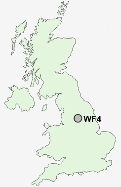
Postcode : WF4, Wakefield, West Yorkshire
Postcodes in the WF4 sector. Covering areas such as Newmillerdam, Hollingthorpe, Coxley, Horbury Bridge, Netherton, Notton, Middlestown, Horbury, Hall Green, Great Cliff, Crofton, Foulby, Cold Hiendley, Upper Denby, Wintersett and Wakefield in West Yorkshire.
Postcode Area WF : Wakefield
WF4 Postcode Sectors
WF4 3 Calder Grove, Chapelthorpe, Crigglestone, Great Cliff, Hall Green
WF4 2 Cold Hiendley, Newstead, Notton, Ryhill, Wintersett
WF4 4 Coxley, Flockton, Flockton Green, Flockton Moor, Horbury Bridge
WF4 2 Cold Hiendley, Newstead, Notton, Ryhill, Wintersett
WF4 4 Coxley, Flockton, Flockton Green, Flockton Moor, Horbury Bridge
WF4 Nearby Postcode Districts
BD12 BD19 DN6 HD1 HD2 HD3 HD4 HD5 HD6 HD7 HD8 HD9 HX1 HX2 HX3 HX4 HX5 S71 S72 S75 WF1 WF10 WF11 WF12 WF13 WF14 WF15 WF16 WF17 WF2 WF3 WF4 WF5 WF6 WF7 WF8 WF9
Stations near to WF4
Sandal & Agbrigg Rail Station about 1.9 miles away.Wakefield Kirkgate Rail Station about 2.52 miles away.
Wakefield Westgate Rail Station about 2.55 miles away.
WF4 Schools
Standbridge Primary SchoolHendal Primary School
Kettlethorpe High School, A Specialist Maths and Computing College
Crigglestone Mackie Hill Junior and Infant School
Crigglestone Dane Royd Junior and Infant School
The Mount Junior Infant & Nursery School
Wakefield Castle Grove Infant School
Wakefield Snapethorpe Primary School
UK Search
Antique Furniture
1000s of pieces of Antique Furniture for sale from British antique dealers.