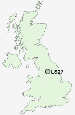
Postcode : LS27, Leeds, West Yorkshire
Postcodes in the LS27 sector. Covering areas such as Morley, New Brighton, Churwell, Moor Head, Bruntcliffe, Daisy Hill, Bantam Grove, Topcliffe, Gildersome Street, Birks, Gildersome and Leeds in West Yorkshire.
Postcode Area LS : Leeds
LS27 Postcode Sectors
LS27 Nearby Postcode Districts
BD1 BD10 BD11 BD12 BD13 BD14 BD15 BD16 BD17 BD18 BD19 BD2 BD22 BD3 BD4 BD5 BD6 BD7 BD8 BD9 HD2 HD3 HD6 HX1 HX2 HX3 HX4 HX5 HX6 LS1 LS10 LS11 LS12 LS13 LS14 LS15 LS18 LS2 LS25 LS26 LS27 LS28 LS3 LS4 LS5 LS6 LS7 LS8 LS9 WF1 WF10 WF11 WF12 WF13 WF14 WF15 WF16 WF17 WF2 WF3 WF5 WF6 WF7 WF8
Stations near to LS27
Morley Rail Station about 0.46 miles away.Cottingley Rail Station about 1.43 miles away.
Batley Rail Station about 2.83 miles away.
LS27 Schools
Morley High SchoolBruntcliffe School
Birchfield Primary School
Woodkirk High Specialist Science School
Cottingley Primary School
UK Search
Antique Jewellery
including Antique Engagement Rings for sale from UK Antique specialists.