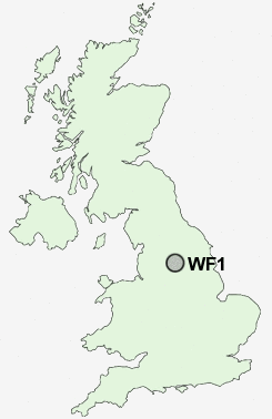
Postcode : WF1, Wakefield, West Yorkshire
Postcodes in the WF1 sector. Covering areas such as Grange Moor, Wheldale, Birstall Smithies, Mirfield, Fox Royd, Norristhorpe, Belle Vue, Hanging Heaton, Outwood, Beggarington Hill, Fairburn, Woodkirk, Copley Hill, East Moor, Little Thorpe, Wakefield and Kirklees in West Yorkshire, North Yorkshire.
Postcode Area WF : Wakefield
WF1 Postcode Sectors
WF1 Nearby Postcode Districts
BD11 BD12 BD13 BD14 BD19 BD4 BD5 BD6 BD7 DN6 HD1 HD2 HD3 HD4 HD5 HD6 HD7 HD8 HX1 HX3 HX4 HX5 LS10 LS11 LS25 LS26 LS27 WF1 WF10 WF11 WF12 WF13 WF14 WF15 WF16 WF17 WF2 WF3 WF4 WF5 WF6 WF7 WF8 WF9
Stations near to WF1
Wakefield Kirkgate Rail Station about 0.59 miles away.Wakefield Westgate Rail Station about 0.64 miles away.
Sandal & Agbrigg Rail Station about 1.71 miles away.
Outwood Rail Station about 2.09 miles away.
WF1 Schools
Wakefield Pinders Primary (JIN) SchoolWakefield Greenhill Primary School
Wakefield Heath View Community Primary School Jin
Wakefield City High School - A Specialist Maths and Computing College
Wakefield Flanshaw Junior and Infant School
Wakefield Sandal Magna Junior and Infants School
Rooks Nest Junior, Infant and Nursery School
Wrenthorpe Primary School
The Mount Junior Infant & Nursery School
Outwood Grange College of Technology
Wakefield Castle Grove Infant School
Stanley Wrenthorpe Jerry Clay Lane Junior and Infant School
UK Search
Antique Furniture
1000s of pieces of Antique Furniture for sale from British antique dealers.