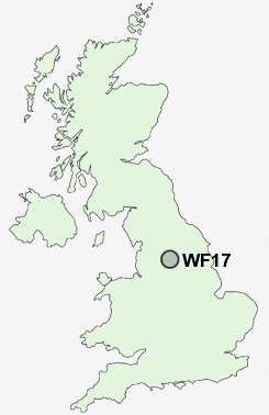
Postcode : WF17, Kirklees, West Yorkshire
Postcodes in the WF17 sector. Covering areas such as Batley, Copley Hill, Clerk Green, Hanging Heaton, Upper Batley, Staincliffe, Healey, Batley Carr, Mount Pleasant, Birstall Smithies, White Lee, Lower Soothill, Howden Clough, Carlinghow and Kirklees in West Yorkshire.
Postcode Area WF : Wakefield
WF17 Postcode Sectors
WF17 5 Batley
WF17 7 Batley Carr, Clerk Green, Mount Pleasant, Staincliffe
WF17 9 Birstall, Birstall Smithies, White Lee
WF17 7 Batley Carr, Clerk Green, Mount Pleasant, Staincliffe
WF17 9 Birstall, Birstall Smithies, White Lee
WF17 8 Carlinghow, Healey
WF17 0 Copley Hill, Howden Clough, Upper Batley
WF17 6 Hanging Heaton, Lower Soothill
WF17 0 Copley Hill, Howden Clough, Upper Batley
WF17 6 Hanging Heaton, Lower Soothill
WF17 Nearby Postcode Districts
BD1 BD11 BD12 BD13 BD14 BD15 BD19 BD2 BD3 BD4 BD5 BD6 BD7 BD8 BD9 HD1 HD2 HD3 HD4 HD5 HD6 HD7 HX1 HX2 HX3 HX4 HX5 HX6 HX7 LS1 LS10 LS11 LS12 LS13 LS15 LS2 LS25 LS26 LS27 LS28 LS3 LS4 LS5 LS7 LS9 WF1 WF10 WF11 WF12 WF13 WF14 WF15 WF16 WF17 WF2 WF3 WF4 WF5 WF6 WF7 WF8
Stations near to WF17
Batley Rail Station about 0.97 miles away.Dewsbury Rail Station about 1.88 miles away.
Ravensthorpe Rail Station about 3.06 miles away.
WF17 Schools
Batley Business and Enterprise CollegeCarlinghow Princess Royal Junior Infant and Nursery School
Field Lane Junior Infant and Nursery School
Batley Girls' High School
Birkdale High School
Westborough High School
UK Search
Antique Furniture
1000s of pieces of Antique Furniture for sale from British antique dealers.