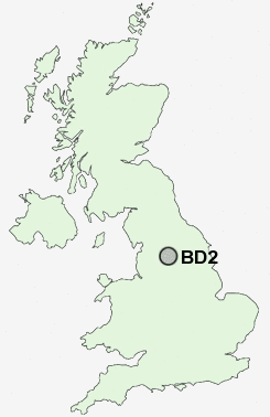
Postcode : BD2, Bradford, West Yorkshire
Postcodes in the BD2 sector. Covering areas such as Mearbeck, Guard House, Junction, Lane Ends, Dale End, Langcliffe, Beckermonds, Brunthwaite, Long Preston, Stirton, Draughton, Skyreholme, Mytholmes, Hartlington, Upper Marsh, Bradford and North Yorkshire in West Yorkshire, Lancashire.
Postcode Area BD : Bradford
BD2 Postcode Sectors
BD2 Nearby Postcode Districts
BD1 BD10 BD11 BD12 BD13 BD14 BD15 BD16 BD17 BD18 BD19 BD2 BD20 BD21 BD22 BD3 BD4 BD5 BD6 BD7 BD8 BD9 HX1 HX2 HX3 HX7 LS1 LS10 LS11 LS12 LS13 LS14 LS15 LS16 LS17 LS18 LS19 LS2 LS20 LS21 LS23 LS26 LS27 LS28 LS3 LS4 LS5 LS6 LS7 LS8 LS9 OL14 WF10 WF17 WF3
Stations near to BD2
Bradford Forster Square Rail Station about 1.41 miles away.Frizinghall Rail Station about 1.49 miles away.
Bradford Interchange Rail Station about 1.71 miles away.
Shipley Rail Station about 2.08 miles away.
Baildon Rail Station about 2.63 miles away.
BD2 Schools
Wellington Primary SchoolCarlton Bolling College
Feversham Primary School
Springwood Community Primary School
Atlas Community Primary School
UK Search
Antique Clocks
Browse Antique Clocks for sale from British antique dealers.