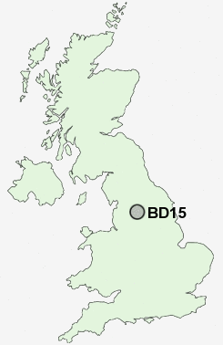
Postcode : BD15, Bradford, West Yorkshire
Postcodes in the BD15 sector. Covering areas such as Lingbob, Wilsden Hill, Harecroft, Wilsden, Bents Head, Sandy Lane, Allerton, Norr, Shay Gate, New Holland, School Green and Bradford in West Yorkshire.
Postcode Area BD : Bradford
BD15 Postcode Sectors
BD15 Nearby Postcode Districts
BB10 BB8 BB9 BD1 BD10 BD11 BD12 BD13 BD14 BD15 BD16 BD17 BD18 BD19 BD2 BD20 BD21 BD22 BD3 BD4 BD5 BD6 BD7 BD8 BD9 HX1 HX2 HX3 HX7 LS1 LS10 LS11 LS12 LS13 LS14 LS15 LS16 LS17 LS18 LS19 LS2 LS20 LS26 LS27 LS28 LS3 LS4 LS5 LS6 LS7 LS8 LS9 OL14 WF16 WF17 WF3
Stations near to BD15
Bingley Rail Station about 2.67 miles away.Saltaire Rail Station about 2.71 miles away.
Crossflatts Rail Station about 3.37 miles away.
BD15 Schools
Sandy Lane Primary SchoolLey Top Primary School
Rhodesway School
Belle Vue Boys' School
Belle Vue Girls' School
Cottingley Village Primary School
Thornton Primary School
Nab Wood School
UK Search
Antique Clocks
Browse Antique Clocks for sale from British antique dealers.