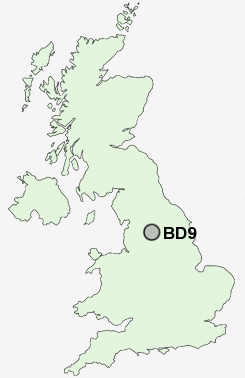
Postcode : BD9, Bradford, West Yorkshire
Postcodes in the BD9 sector. Covering areas such as Heaton Royds, Frizinghall, Heaton, Daisy Hill, Heaton Shay and Bradford in West Yorkshire.
Postcode Area BD : Bradford
BD9 Postcode Sectors
BD9 Nearby Postcode Districts
BB8 BD1 BD10 BD11 BD12 BD13 BD14 BD15 BD16 BD17 BD18 BD19 BD2 BD20 BD21 BD22 BD3 BD4 BD5 BD6 BD7 BD8 BD9 HX1 HX2 HX3 HX7 LS1 LS10 LS11 LS12 LS13 LS14 LS15 LS16 LS17 LS18 LS19 LS2 LS20 LS21 LS26 LS27 LS28 LS3 LS4 LS5 LS6 LS7 LS8 LS9 OL14 WF17 WF3
Stations near to BD9
Frizinghall Rail Station about 1 miles away.Shipley Rail Station about 1.59 miles away.
Bradford Forster Square Rail Station about 1.8 miles away.
Saltaire Rail Station about 1.83 miles away.
Bradford Interchange Rail Station about 2.16 miles away.
Baildon Rail Station about 3.01 miles away.
Bingley Rail Station about 3.21 miles away.
BD9 Schools
Margaret McMillan Primary SchoolGirlington Primary School
Belle Vue Boys' School
Belle Vue Girls' School
Rhodesway School
Farnham Primary School
Nab Wood School
UK Search
Antique Clocks
Browse Antique Clocks for sale from British antique dealers.