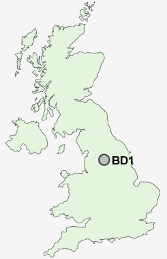
Postcode : BD1, Bradford, West Yorkshire
Postcodes in the BD1 sector. Covering areas such as Norr, Eldwick, Oakwell, Hill Top, Gomersal, Denholme Gate, Idle, Bank Top, Swain House, Shibden Head, Moorhead, Hunsworth, Moorside, Cross Gates, Kirklees and Bradford in West Yorkshire.
Postcode Area BD : Bradford
BD1 Postcode Sectors
BD1 Nearby Postcode Districts
BD1 BD10 BD11 BD12 BD13 BD14 BD15 BD16 BD17 BD18 BD19 BD2 BD21 BD22 BD3 BD4 BD5 BD6 BD7 BD8 BD9 HD6 HX1 HX2 HX3 HX6 HX7 LS1 LS10 LS11 LS12 LS13 LS14 LS15 LS16 LS17 LS18 LS19 LS2 LS20 LS26 LS27 LS28 LS3 LS4 LS5 LS6 LS7 LS8 LS9 OL14 WF15 WF16 WF17 WF3 WF6
Stations near to BD1
Bradford Forster Square Rail StationBradford Interchange Rail Station about 0.35 miles away.
Frizinghall Rail Station about 1.82 miles away.
Shipley Rail Station about 2.71 miles away.
Saltaire Rail Station about 3.33 miles away.
BD1 Schools
Carlton Bolling CollegeAtlas Community Primary School
Feversham Primary School
Dixons City Academy
Dixons City Academy
Miriam Lord Community Primary School
Farnham Primary School
Horton Park Primary School
Girlington Primary School
Bradford Academy
Margaret McMillan Primary School
Grange Technology College
UK Search
Antique Clocks
Browse Antique Clocks for sale from British antique dealers.