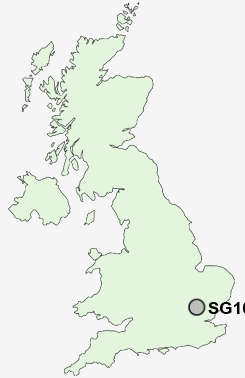
Postcode : SG10 6, Hertfordshire
Postcodes in the SG10 6 district. Covering areas such as Perry Green, South-end, Kettle Green, Nether Street, Hadham Cross, Green Tye, Much Hadham and Hertfordshire.
Postcode Area SG : Stevenage
SG10 Postcode Sectors
SG10 6 Nearby Postcode Districts
AL10 AL4 AL6 AL7 AL8 AL9 CM1 CM17 CM18 CM19 CM20 CM21 CM22 CM23 CM24 CM6 EN10 EN11 SG1 SG10 SG11 SG12 SG13 SG14 SG2 SG3 SG4
Stations near to SG10 6
Harlow Town Rail Station about 3.35 miles away.SG10 6 Schools
Widford SchoolSt Andrew's CofE Primary School and Nursery
Hunsdon Junior Mixed and Infant School
UK Search
Antique Furniture
1000s of pieces of Antique Furniture for sale from British antique dealers.